Facing Challenges
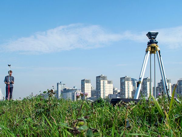
• With the advancement of technology, modern surveying techniques are continuously developing, leading to a
significant increase in the demand for precision and stability of surveying equipment in outdoor operations.• Challenges such as obstructing vegetation, environmental interferences, and complex terrain make it difficult
to obtain accurate measurements, especially in terms of height.• In addition to carrying a large number of surveying tools and documents, surveyors also need to carry paper
and pen to record information, which is not only cumbersome but also prone to loss.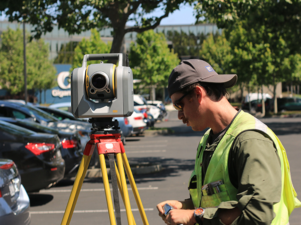
Solution
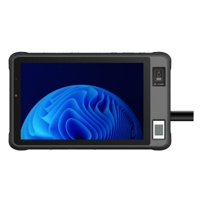
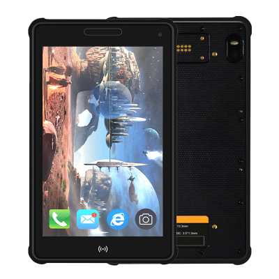
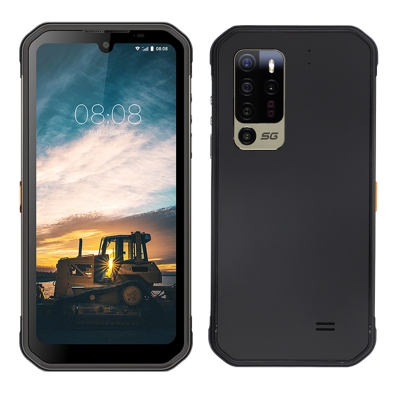
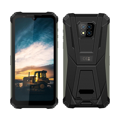
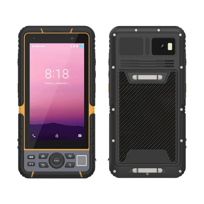
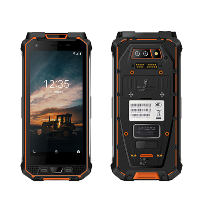
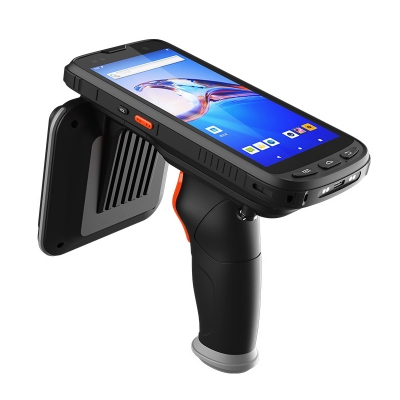
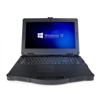
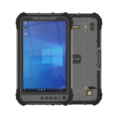
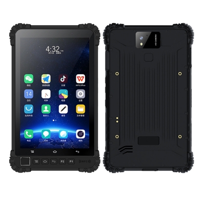
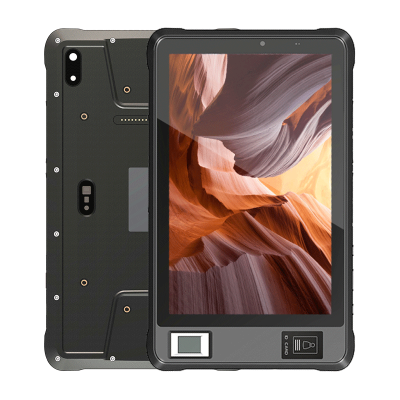
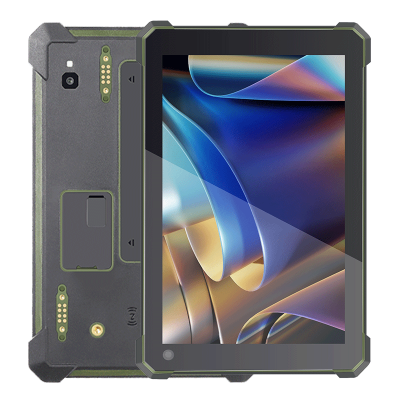
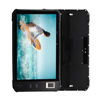
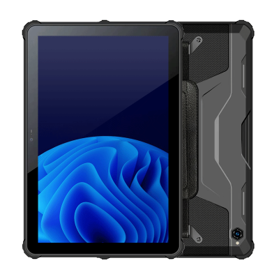
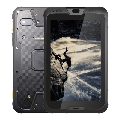
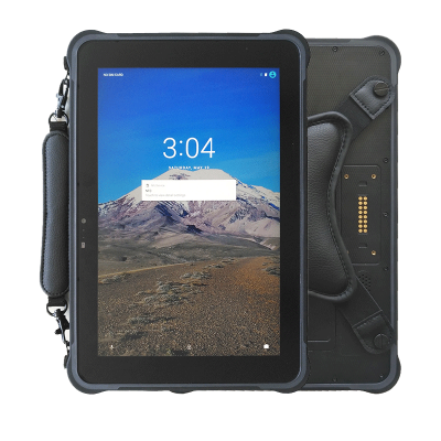
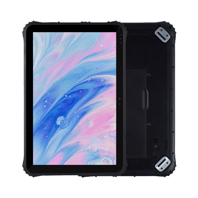
To meet the needs and challenges of surveyors, Hogons recommends the rugged handheld terminal HG506-S and the rugged tablet HG105G. These devices offer fast scanning capabilities and are equipped with specialized electronic tags for each marker point, making it easy to identify the specific functions and information of each point. With precise positioning and calculations, the equipment reduces errors and simultaneously records data in real-time, thus reducing workload and ensuring data accuracy.
Application Performance
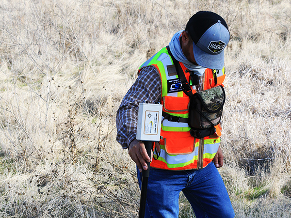
• The mobile collection of geographical and positioning data is facilitated by the stable 4G network and
Bluetooth transmission functions of the handheld terminal or tablet, enabling real-time data delivery to
the system.• Specific marker points are equipped with dedicated electronic tags, which can be quickly and accurately
identified using the professional scanning capabilities of the handheld terminal or tablet.• Real-time GPS positioning provides continuous access to location information, allowing surveyors to easily
view maps and current geographic data, enhancing coordination and management in surveying tasks.
• Designed to withstand sudden outdoor events such as storms, rain, and low temperatures, with a 1.2-meter
drop resistance, the robust quality ensures efficient and convenient outdoor surveying operations.
Welcome To HOGONS Technology Co., Ltd.


